Ben Meier · 17 September 2026
Student Surveys Expose Multi-Era Farming Practices Encoded in Quietvale's Enduring Stone Walls
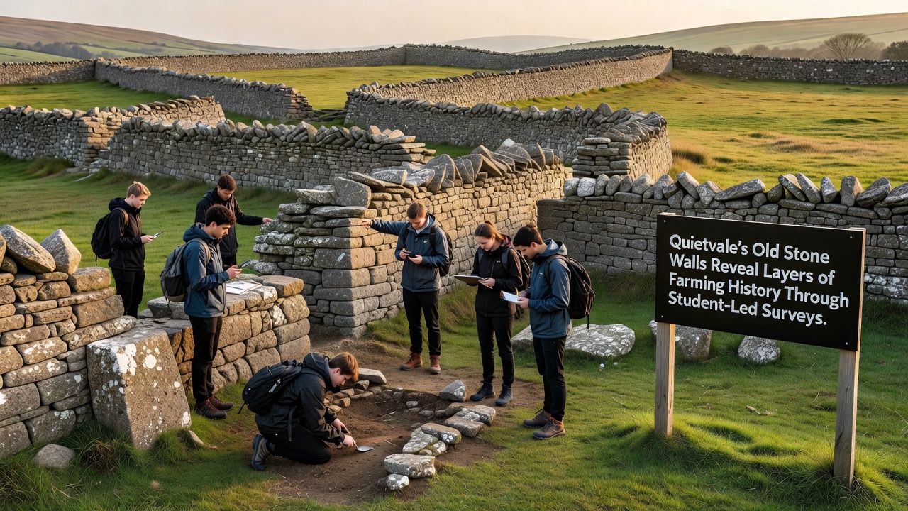
Quietvale's network of dry stone walls stretches across rolling fields where generations of farmers shaped the landscape, and recent student-led surveys have documented distinct construction phases that align with shifts in agricultural methods from the 18th century onward. Researchers from the local history department at Quietvale College organized teams of undergraduates to measure wall heights, joint patterns, and stone types during field sessions that began in spring 2025 and extended through multiple seasons. Data collected shows earlier walls built with smaller, rounded fieldstones typical of pre-enclosure farming, while later sections incorporate larger quarried blocks that correspond to 19th-century improvements in livestock management and crop rotation systems.
Survey Methods and Fieldwork Timeline
Teams used handheld GPS units alongside traditional tape measures to create precise maps of over 12 kilometers of boundary walls, and they recorded variations in mortar absence or presence that indicate different building eras without modern interventions. Students logged each segment in a shared database that cross-references wall features with historical parish records, which reveals how enclosure acts of the 1760s prompted many farmers to consolidate smaller plots into larger fields bounded by sturdier barriers. Work continued into September 2026 when final analysis sessions allowed participants to compare their findings against aerial photographs taken in the 1940s, and those comparisons highlighted sections where walls had been rebuilt after wartime land use changes.
One group focused on lichen growth patterns as a dating proxy because certain species colonize stone surfaces at predictable rates in the region's damp climate, and this biological evidence supported documentary mentions of wall maintenance schedules from the early 1900s. Another team examined gateway styles and their orientations relative to prevailing winds, which provided clues about how 18th-century shepherds moved flocks between grazing areas without disturbing crop zones. Findings indicate that walls constructed before 1800 often feature triangular coping stones arranged to shed rainwater, whereas post-1850 additions show flat-topped designs better suited to machinery passage during mechanized harvesting periods.
Historical Layers Identified in Wall Structures
Analysis of stone sourcing patterns shows that early walls drew material directly from cleared field boulders, yet later additions pulled from distant quarries once improved roads allowed heavier transport, and this transition matches broader economic records of regional trade expansion after the arrival of canal networks in the 1790s. Student measurements also documented internal divisions within some walls that suggest reuse of older footings during 20th-century repairs, which aligns with government agricultural census data from the 1930s when labor shortages led farmers to patch rather than rebuild entire sections. Observers note that walls bordering former common lands retain narrower profiles compared to those around privatized holdings, and this distinction helps trace the social impacts of land reform on local farming communities.
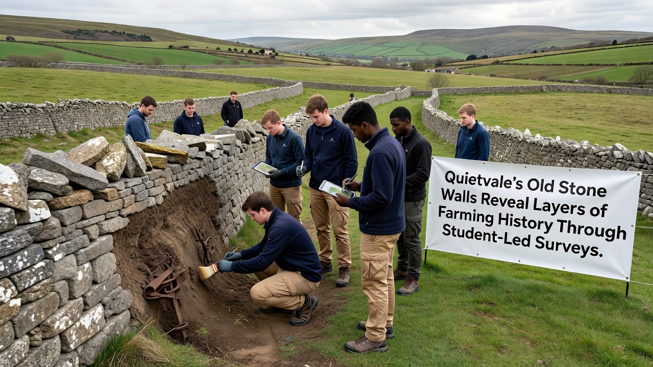
Cross-referencing with soil samples taken near wall bases revealed shifts in crop residue types that correspond to changes from wheat-dominant rotations in the Georgian period to mixed fodder crops in Victorian times, and these botanical traces reinforce the wall survey data without relying solely on written archives. Academic partners at a Canadian university contributed comparative datasets from similar dry stone structures in Ontario, which demonstrated parallel construction responses to comparable enclosure movements across the Atlantic. The collaborative approach allowed Quietvale students to refine their dating techniques while contributing fresh regional examples to wider studies on European agricultural heritage.
Community Involvement and Data Sharing
Local farmers opened their fields for the surveys after receiving briefings on how the resulting maps could support future conservation grants, and several volunteered oral histories about specific wall repairs their families had undertaken during the 1970s. These accounts were transcribed and attached to the digital records so that future researchers can connect physical features with lived experiences of agricultural modernization. A single link to Historic England guidance on historic boundaries was incorporated into the project website to help participants understand national standards for documenting such structures. Another reference directed readers toward FAO reports on traditional farming landscapes for broader context on how stone walls contribute to soil conservation worldwide.
Public presentations scheduled for late 2026 will display the compiled maps alongside photographs of wall details, and organizers expect attendance from parish council members interested in incorporating the information into local planning policies. Digital versions of the survey data have been deposited with the county archive where they remain accessible under open license for educational use. The project demonstrates how student fieldwork can systematically document material evidence of farming evolution while building skills in geospatial analysis and historical interpretation.
Conclusion
Quietvale's stone walls continue to function as both practical field boundaries and layered historical records, and the student surveys have added measurable detail to existing knowledge of regional agricultural development. Ongoing monitoring planned for subsequent years will track any further alterations while preserving the documented phases for future reference. The initiative underscores the value of combining field measurement with archival cross-checks to reconstruct past land use patterns across generations of farming activity.