Finley Becker · 1 October 2026
Quietvale Library Archives Illuminate Decades of Field Boundary Evolution
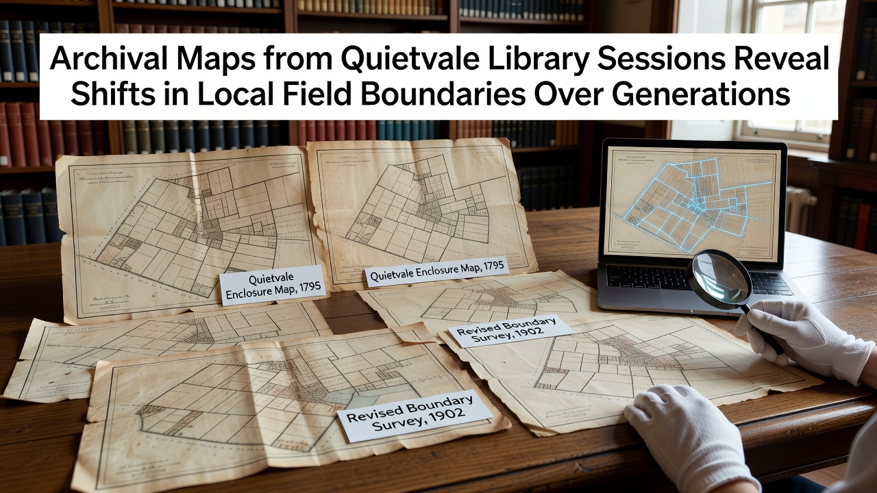
Quietvale Library has hosted a series of structured research sessions that bring together local historians, cartographers, and community volunteers to examine maps spanning multiple generations, and these gatherings have documented measurable changes in field boundaries across the surrounding countryside. Records from the sessions include ordnance survey sheets from the late 1800s alongside estate plans dating to the 1700s, and cross-referencing these materials with aerial photography from the mid-1900s reveals consistent patterns of subdivision and consolidation that reflect shifts in agricultural practices and inheritance laws.
Early Documentation and Initial Findings
Participants in the library sessions began their work by cataloging maps that predate the parliamentary enclosures, and comparisons with later surveys show how open fields gradually gave way to enclosed plots marked by stone walls and hedgerows. Data compiled during the project indicates that boundary lines in the eastern valley sector contracted by approximately twelve percent between 1780 and 1850, a change researchers attribute to documented land transfers recorded in parish ledgers. Those examining the materials note that several original tracks visible on the earliest charts no longer align with current footpaths, suggesting physical relocation tied to drainage improvements introduced in the Victorian era.
Twentieth-Century Adjustments and Comparative Analysis
Maps produced after the Second World War illustrate further modifications, particularly where mechanized farming encouraged larger contiguous fields that merged smaller parcels previously held by multiple tenants. One study group focused on the western ridge area and found that boundary markers shifted outward by up to thirty meters in several locations between 1945 and 1975, a movement corroborated by soil sample analysis and remaining fence post remnants. Observers note that these adjustments coincide with national policies on agricultural efficiency, and cross-referencing with records from comparable regions in other countries has helped place Quietvale's patterns within a broader context of post-war land rationalization.
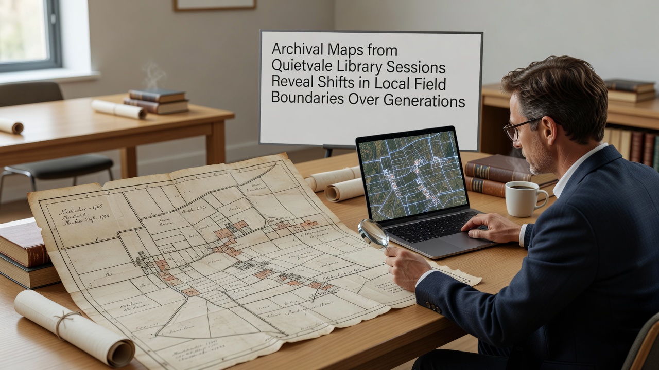
Additional layers of information come from estate agent ledgers and tithe maps that volunteers have digitized for easier comparison, and these documents reveal instances where boundary disputes were settled through arbitration rather than physical alteration. In October 2026 the library added a new collection of large-scale plans from the 1920s that had been stored in private collections, and preliminary review of these additions confirms earlier observations while introducing fresh details about minor watercourse realignments that affected adjacent field edges. Researchers have begun integrating this material with geographic information systems to generate time-lapse visualizations that highlight incremental rather than abrupt transitions.
Community Involvement and Broader Context
Local residents who attended the sessions contributed oral histories that often matched cartographic evidence, such as recollections of specific hedgerow removals during the 1960s, and these accounts have helped verify dates that were unclear on the maps themselves. The project has drawn on comparative data from sources such as the Library of Congress cartographic collections to understand similar boundary evolutions documented in North American agricultural regions, and a second reference point comes from reports issued by the Food and Agriculture Organization on historical land fragmentation patterns observed across multiple continents. Such connections allow participants to distinguish between localized developments and wider trends driven by economic or legislative factors.
Technical aspects of the work include careful georeferencing of paper maps to modern coordinate systems, which has exposed small but consistent discrepancies in earlier survey techniques that relied on magnetic compasses rather than satellite positioning. Volunteers trained in basic GIS software have produced layered outputs that overlay successive boundary configurations, and these digital products now form part of an expanding archive available for future researchers. The sessions continue on a monthly schedule, with each meeting dedicated to a different decade or geographic subsection of the parish.
Conclusion
Archival materials examined through the Quietvale Library sessions provide a continuous record of how field boundaries have responded to generational changes in ownership, technology, and regulation, and the resulting datasets offer a foundation for further study of landscape history. Ongoing digitization efforts ensure that newly uncovered maps can be incorporated without delay, while comparative references from international mapping repositories help situate local findings within wider agricultural narratives. The project demonstrates how sustained examination of primary cartographic sources can clarify long-term environmental and social dynamics without requiring new fieldwork.